Local guide
Things to do
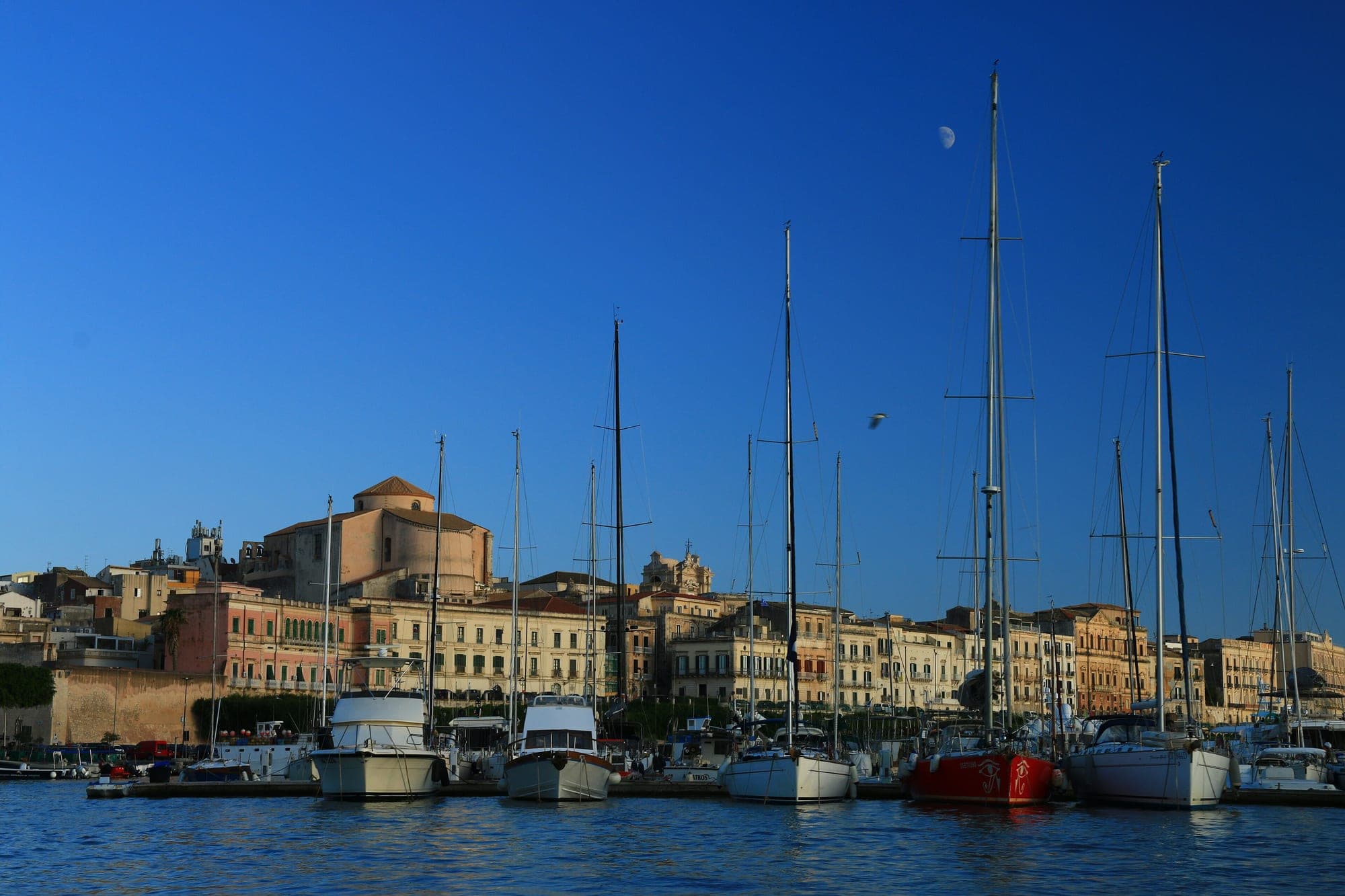
Photo © Benjamin Smith, CC BY-SA 4.0
Curated picks coming soon.
12 placesNearest first
See them all on the map2min walk
Beaches
Spiaggia di Santa Lucia
Approximate location
The sea at the end of the street, barely two minutes away: on one side a solarium of wooden decking with steps down into deep water, on the other a small sandy beach, and the arm of the little harbour between them. There is a public shower to rinse off before you walk back up.
3min walk
Do
Approdo Santa Lucia
The little harbour below the house: three minutes on foot to the fishing boats, the quay to sit on and the promenade running along the water — the place you wander down to in the evening without deciding anything.
3min walk
Do
Blumar
Approximate location
The boat hire inside the little harbour, three minutes from the house: take a dinghy for the day and work along the Plemmirio coast and the sea caves, which are another thing entirely from the water. In high season, call in a day ahead.
Worth booking
12min walk
Do
Lungomare di Levante Elio Vittorini
The promenade along Ortigia’s eastern side, under the Spanish walls: this is the side the sun comes up on, so come early for the cool air, or at dusk to watch the light arrive from behind the houses.
28min walk
Beaches
Cala Rossa
Not a beach but a rocky little cove on Ortigia’s eastern flank, with iron ladders down into the water: you come to swim, not to sunbathe — perfect for a dip before dinner, when the wall throws shade.
12min drive
Do
Riserva Naturale Fiume Ciane e Saline
Approximate location
The only place in Europe where papyrus grows wild: a short, intensely green river you can go up by boat from the bridge on the Via Elorina, or follow on foot along the bank — early morning it is all herons and nobody else.
15min drive
Beaches
Spiaggia del Minareto
Approximate location
The beach on the Maddalena peninsula, at the gateway to the Plemmirio: sand and shingle, water that turns blue immediately and the city gone behind the headland — parking is thin, so come early or late in the afternoon.
18min drive
Beaches
Punta della Mola
Approximate location
Low cliffs inside the Plemmirio marine reserve: you get in off the rock and there is a whole world underneath, so bring a mask and reef shoes — no shade and no sand, but the clearest water within reach of Siracusa.
45min drive
Beaches
Riserva di Vendicari
Long empty beaches behind the dunes, the ruined tonnara with its Swabian tower standing in the water, and lagoons full of flamingos in spring and autumn: it is a walk from the gate to the sand, so bring water and a hat.
55min drive
Do
Marzamemi — Piazza Regina Margherita
A tuna-fishery village whose stone square opens straight onto the sea, fishermen’s houses all around: it fills up in summer, so go for dinner and stay for a drink as the square lights up.
Beaches
Fontane Bianche
Twelve kilometres south: shallow, glass-clear water — the family beach par excellence.
Beaches
Spiaggia dell’Arenella
Approximate location
Golden sand in a shallow bay south of the city — beach clubs at one end, free sand at the other.